Luimneach originally referred to the general area along the banks of the Shannon Estuary known as Loch Luimnigh. The earliest settlement in the city, Inis Sibhtonn, was the original name for King’s Island during the pre-Viking and Viking eras. This island was also called Inis an Ghaill Duibh, “The Dark-(haired) Foreigner’s Island”. The name is recorded in Viking sources as Hlymrekr.
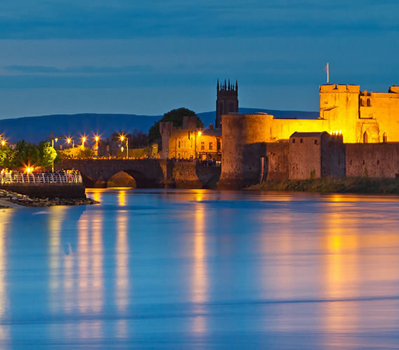
The city dates from 812 which is the earliest probable settlement; however, history suggests the presence of earlier settlements in the area surrounding King’s Island, the island at the historical city centre. Antiquity’s map-maker, Ptolemy, produced in 150 the earliest map of Ireland, showing a place called “Regia” at the same site as King’s Island. History also records an important battle involving Cormac mac Airt in 221 and a visit by St. Patrick in 434 to baptise an Eóganachta king, Carthann the Fair. Saint Munchin, the first bishop of Limerick died in 652, indicating the city was a place of some note. In 812 the Vikings sailed up the Shannon and pillaged the city, burned the monastery of Mungret but were forced to flee when the Irish attacked and killed many of their number.[7] The Normans redesigned the city in the 12th century and added much of the most notable architecture, such as King John’s and St Mary’s Cathedral.[8]
In early medieval times Limerick was at the centre of the Kingdom of Thomond which corresponds to the present day Mid West Region however, the Kingdom also included North Kerry and parts of South Offaly. One of the kingdom’s most notable kings was Brian Boru, ancestor of the O’Brien Clan of Dalcassians. The word Thomond is synonymous with the region and is retained in place names such as Thomondgate, Thomond Bridge & Thomond Park.


